About Tilicho Peak Expedition
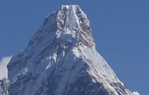
Tilicho Peak is a challenging but straightforward climb. Tilicho Peak Base Camp sits on the shore of the aqua-blue Tilicho Lake.Tilicho Peak is technically interesting as the standard route via the northwest shoulder has mix of rock and ice leading up to steep snowfields.Tilicho Peak has little objective danger because the shoulder is very wide.The summit view is breathtaking: Annapurna massif, Dhaulagiri, Tibetan plateau and below, the deepest valley in the world the Kali Gandaki valley and Tilicho Lake.
In 1950, a French expedition led by Maurice Herzog went to Nepal to look for an approach to ascend Annapurna I. At Tilicho Lake they found a tremendous wall of rock an ice between them and the Annapurna I. In fact, it was a shoulder of rock and ice that extends in a north-northwest direction for 11km, and finally drops down into Tilicho Lake.They named it “la grande barriere” the great barrier. Tilicho Peak is located at the end of Great Barrier, high above the glacial Tilicho Lake. It was climbed for the first time by French climber Emanuel Schmutz via the Northwest shoulder which remains the standard climbing route.
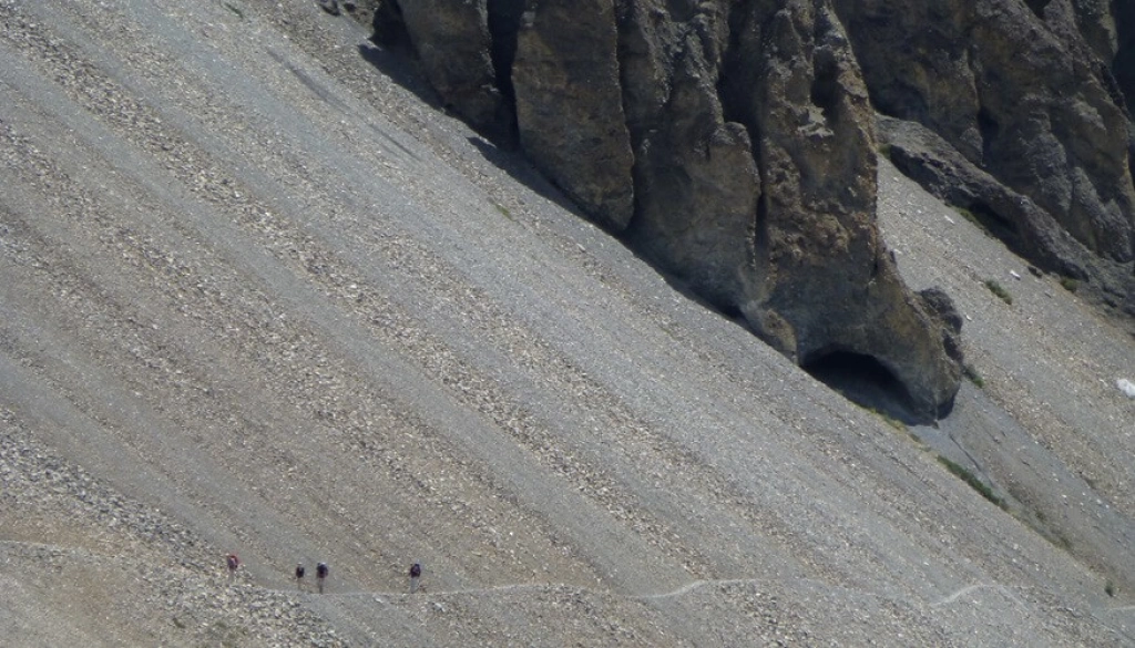
Our approach to base camp follows the Annapurna Circuit Trail up the beautiful Marsyangdi valley to the villages of Manang and Khansar affording an excellent acclimatization over about 10 days.This approach is also simpler logistically.
(An optional time-saving route is to fly directly to Jomsom in the Kali Gandaki Valley and climb over the Mesokanto Pass, 5300m to Base Camp in 3 days.This option allows little time for acclimatization.)
Tilicho Peak Climbing Route:
Tilicho Peak Base Camp, 4800m, is located on the Northwest end of the lake, a beautiful place to rest and acclimatize. Marine fossils found around the lake suggest that the Himalayas were once beneath the sea. Lake Tilicho is our water source.The water should be filtered or purified by iodine tablets or boiled.There are two high camps on the Tilicho Peak route.
The climb from Base Camp to Camp I, 5795m, on a shelf below the Northwest shoulder is straightforward. The route crosses a big (1.5km) snow field and then climbs on 50 degree mixed rock and ice for about 690m. From Camp I we enjoy the view of Tilicho Lake down below. The first trip is for acclimatization, and to take some camping gear up to Camp I. During the second ascent to Camp I, we stay overnight.The next day we climb to Camp II.
Camp II, 6200m, sits on the shoulder. The ascent to Camp II crosses a 700 meter snowfield of 55 degrees leading up to the shoulder. Fixed rope is required because of the angle, but luckily the width of the shoulder means there is low objective danger. We stay overnight at Camp II; if the weather is good we attempt the summit. If not, we return to Base Camp to recover and prepare for our next summit push.
The route to the summit of Tilicho Peak, 7134m continues on the wide shoulder. Though there is little exposure, the challenge is to cover the 800-900m snowfield with 55-60 degree slopes with as few stops as possible, reducing the risk of avalanche.
- the end of the expedition most people choose the shortest option, over the Mesokanto Pass to Jomsom which takes only one day. From Jomsom we can fly to Pokhara.
A three day option is to follow the Annapurna Circuit Trekking Trail via Thorong La pass, 5416m and fly out of Jomsom.
Allowing 16 days for the climbing period accommodates the acclimatization process and adverse weather conditions, leaving us ample opportunities to make the summit push.
Planning to climb Tilicho Peak in Nepal !!
Guaranteed Departures.. Please get in touch for further details.


